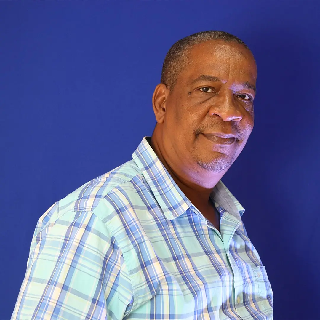
The Research and Mapping Unit is mandated to collect, analyze and disseminate geological and geo-technical information, which is geared towards making a positive impact on economic growth and national development.
Creates a database for disseminating information, and produces maps (landslide and earthquake) to assist government planners, engineers, developers and the general public in reducing economic losses to their developments.
Regional Mapping
-
Collects baseline geological information and upgrades this information to produce geological maps.
-
Creates and produces a geological database, which forms the basis for the exploration and exploitation of metallic and non-metallic minerals.
Engineering Geology/Applied Research
-
Conducts qualitative and quantitative engineering geological research on rocks and soils to assist in civil engineering projects.
-
Conducts assessment of natural disaster-related damages.
-
Processes land subdivision and development applications as part of the planning and development process in order to ensure that residential, industrial and commercial developments proceed in consideration of geological and geotechnical hazards.
Meet The Team
-

Canute Ricketts
Director, Research and Mapping -

Hank Hedge
Senior Geologist -

Jodeen Fuller
Senior Geologist -

Anthony Jones
Geological Assistant -

Sheldon Jackson
Geological Assistant -

Asanya Hendrick
Secretary